| Collector | Navarrete, H. |
| Number | 739 |
| Collected with | |
| Country | Ecuador |
| Subpart | BOLIVAR |
| County | |
| Locality | Carretero Guaranda - Caluma, km 45 desde Sta. Fé, quebrada con bosque en buen estado. |
| Coordinates | 1° 35' S 79° 14' W |
| Minimum elevation (m) | 1300 |
| Maximum elevation (m) | 1300 |
| Start date | 1994/09/22 |
| End date | 1994/09/22 |
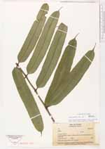
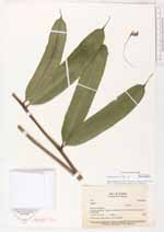
| Family | Marattiaceae |
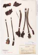
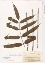
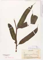
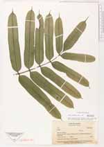
| Identification | Danaea erecta Tuomisto & R.C.Moran |
| Determined by | H. Turmisto & V. Keskiniva |
| Identification qualifier | |
| Field notes | Tronco erecto de 20 cm, 8 cm de diámetro, hojas de 1.5 m |
|
 This record
 Other records of Danaea erecta