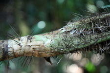
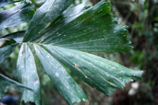
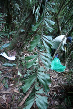
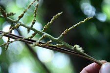
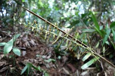
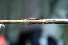
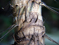
| Field notes | Solitary understory palm. Stem 2.6 m long, 3 cm thick, smooth; internodes 3 cm long, grey; base of stem with few visible roots. Leaves 9; leaf sheath 30 cm long, closed, with 2 cm long black spines; petiole 50 cm long, section margined, with 2.5 cm long black spines; rachis 170 cm long, with 2 cm long cream-black spines; lamina pinnate, 180 cm long, 40 cm wide, glabrous; pinnae 27 per side, irregularly inserted; basal pinna 15 cm long, middle pinna 20 cm long, apical pinna 18 cm long. Inflorescence interfoliar; prophyll 25 cm long, 2 cm wide, woody; peduncular bract 100 cm long, woody, brown, with 1.5 cm long brown spines; peduncle 100 cm long, 0.5 cm wide; rachis 30 cm long, 0.4 cm wide; rachillae 46, 3-5 cm long. Flowers sessile cream. Transect HB152, subunit no. 050, inside transect; UTM: 19L-558958-8340289 |
 This record