AAU Herbarium Database |
| New Search Modify Search |
| Collector | Ollgaard, B. |
| Number | 99092 |
| Collected with | Blasco, M. |
| Country | Ecuador |
| Subpart | NAPO |
| County | |
| Locality | "Upper Río Tiputini, ca. 2 canoe-hours from bridge on Coca-Auca-oilfield road. Tropical rain forest." |
| Coordinates | 0° 43' S 76° 57' W |
| Minimum elevation (m) | 300 |
| Maximum elevation (m) | 300 |
| Start date | 1991/07/21 |
| End date | 1991/07/23 |
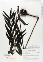
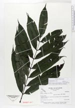
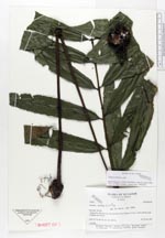
| Family | Marattiaceae |
| Identification | Danaea nigrescens Jenman |
| Determined by | H. Tuomisto & V. Keskiniva |
| Identification qualifier | |
| Field notes | 1 m tall. |
| |
 This record This record Other records of Danaea nigrescens Other records of Danaea nigrescensThe map displays only records from the Aarhus Herbarium Database. The records may not represent the full distribution of Danaea nigrescens |
| New Search Modify Search |